|
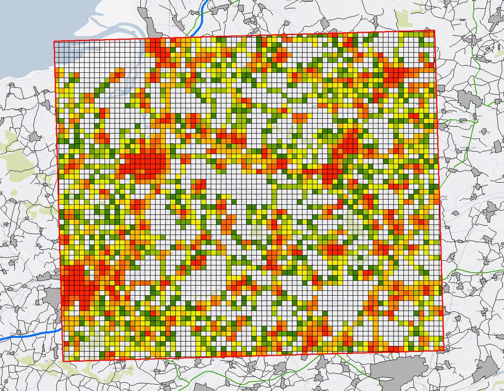
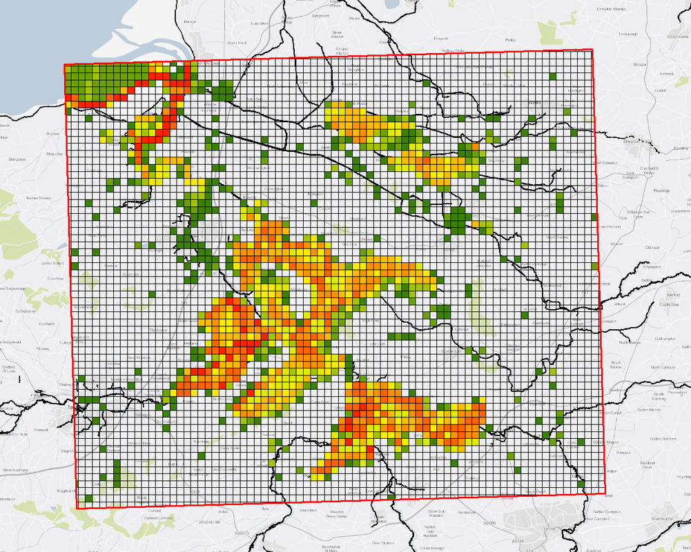
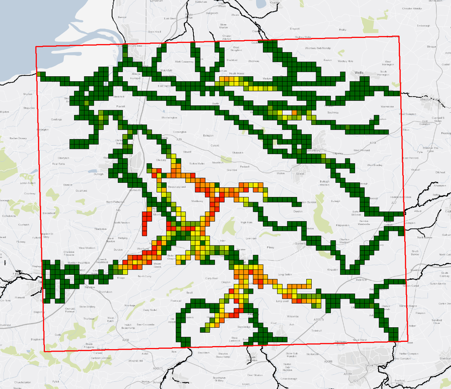
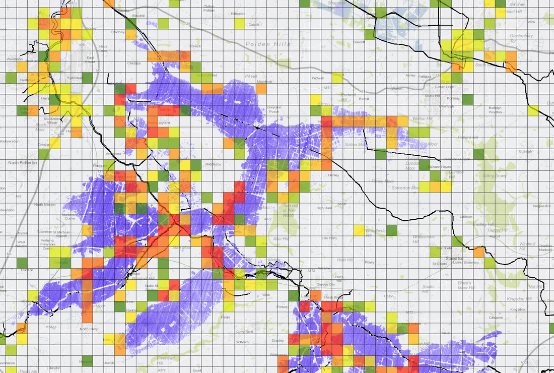
Following a brief exchange with a few people on Twitter, we decided to head to CrisisHack2018 knowing almost nothing about it. Hackathons, or 'Hacks' as they are referred to, are places where innovators can go to experiment and test out ideas. This Hack was run by Geovation, an innovation arm of the Ordnance Survey. The Hack was also sponsored by Space for Smarter Government Program (an innovation wing of the UK Space Agency) and DSTL (an innovation wing of the Ministry of Defense). We turned up and awkwardly greeted others as they came in, expecting everyone to be a programmer, or some seriously space engineering orientated folks. As it happens there was a very diverse mix of people present, not all technical either. As space goes it was a nice way to innovate. We were open to having team members, but most banded together so CCH took position in its own rights. The purpose of the hack was to see if we could produce something useful with satellite data, in particular we focused on the UK Flooding Problem (since this is our area of expertise). We produced a pitch for something we call RAPID (or the Risk Assessment Planning for Incidents and Disasters) which is effectively a means of ranking areas with high hazard and a large observed change. This could easily be used for automatically plotting UAV flights for observation, or for directing emergency response teams. The way we went about it was novel, and we used a lot of OS data and EA data in the process of developing our pipeline - not just the satellite data. The outcome: We pitched our product to the judges at the end of the hack. It was well received and whilst we thought we did well we pretty much assumed that another of the teams (all of whom we thought more elegantly demonstrated the potential of the satellite data) would win. We were, however, delighted to accept first place. Thanks Geovation! With enough optimisation, and because the algorithm driving the assessment method is actually very simple, the subroutines can be undertaken rapidly (hence the name). This means that rather than wait a few hours for processing to complete, a quick set of emergency response directions can be generated in a matter of minutes. This could be an extremely valuable tool for those in disaster response command settings. We also note that the tool doesn't just work with satellite data. It could easily be generalised for any type of hazard inputs (we used coarse information but more detailed inputs would be acceptable) and any type of spatial loading data (wildfires, seismic events, flood forecast model outputs). We had a brilliant time at the event, and we met a lot of wonderful and like minded innovators. Here's to many more hacks in the future! Comments are closed.
|
Archives
November 2018
Categories |
Services |
Company |
|


 RSS Feed